California and the Midwest prep for floods with record levels of snow melt
Yosemite National Park is closed to visitors until at least May 3.
Following a very wet winter featuring plenty of other wild weather, regions of the US are bracing for flood risk, as record breaking snow begins to melt and puts millions at risk.
Here’s what you need to know about the most risky locations.
Flood Risk Closes Yosemite National Park
Most of the valley at the heart of Yosemite National Park in California will close to visitors beginning at 10 PM on Friday April 28 lasting through at least May 3. The rare shutdown could last longer as swiftly melting snow runs into the Merced River and through Yosemite Valley.
[Related: There are rivers in the sky—and one is causing raging rain over California.]
The extremely popular park, home to towering granite formations like El Capitan and Half Dome as well as numerous waterfalls, saw 3.6 million tourists in 2022.
Central California is bracing for its warmest temperatures of the year as well as a looming heat wave with high temperatures in the 90s Fahrenheit and overnight lows above freezing. According to the National Weather Service, temperatures will be about five to 15 degrees above average, and the heat is expected to speed up the spring thaw after record winter snowfall in the Sierra Nevada mountain range.
A series of atmospheric rivers brought numerous snowstorms to the region this winter, with some parts of Yosemite seeing up to 15 feet of snow. The park was closed for about three weeks in February due to the snowfall, which was one of Yosemite’s longest and most expansive weather-related closures.
California State Climatologist Michael Anderson noted that significant flooding was more likely to occur later in May, not in late April. Reservoir operators in the region are releasing water now to make room for more water as the spring thaw continues.
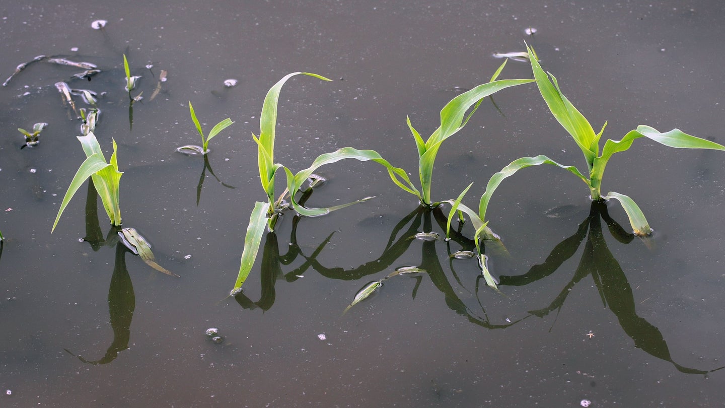
A large basin in the northern San Joaquin Valley along the Tulare River is a major area of flooding concern. A long-dried lake bed was refilled with water from storm runoff and submerged large swaths of farmland and ranches.
Mississippi River towns brace for flooding
Over 1.4 million people were under flood warnings on Tuesday April 25, with warnings stretching along the Mississippi River from North Dakota to parts of Missouri.
Twenty river gages along the Mississippi River are at major flood stage, partially as the snow begins to melt. Multiple cities in the Upper Midwest saw record snowfall this season, which could lead to some of the worst flooding in two decades.
[Related: Last year’s historic floods ruined 20 million acres of farmland.]
The Mississippi River at La Crosse, Wisconsin, is forecast to crest near 16.1 feet Wednesday April 26 into Thursday April 27. This would be the area’s third highest crest, measuring close to the record of 17.89 feet set in April 1965. According to the NWS, “water is within one foot of Rose Street near Interstate 90, and the eastbound I-90 exit may be closed,” if it reaches 16 feet.
Davenport, Iowa began installing barriers to keep flood waters out, as the city of about 100,000 people braces for warm weather and snowmelt. The city is no stranger to these spring floods, but is preparing for the worst. In 2019, Davenport and other parts of the Midwest saw record flooding, when gages saw a 22.7 feet flood crest.
The snow will continue to melt across the US as spring temperatures heat up. To stay safe in floods, it is critical to understand flood risks and zones and always have an evacuation plan in case of changing forecasts and water levels. The Federal Emergency Management Agency (FEMA) has multiple flood maps that can help you assess your risk for flood and plan accordingly.
